
41.Hodges Bridge / Hortjiesbrug

The mystery bridge…
Some interesting information about Hodges Bridge (Hortjies Brug) on the R62 road between Ashton and Montagu
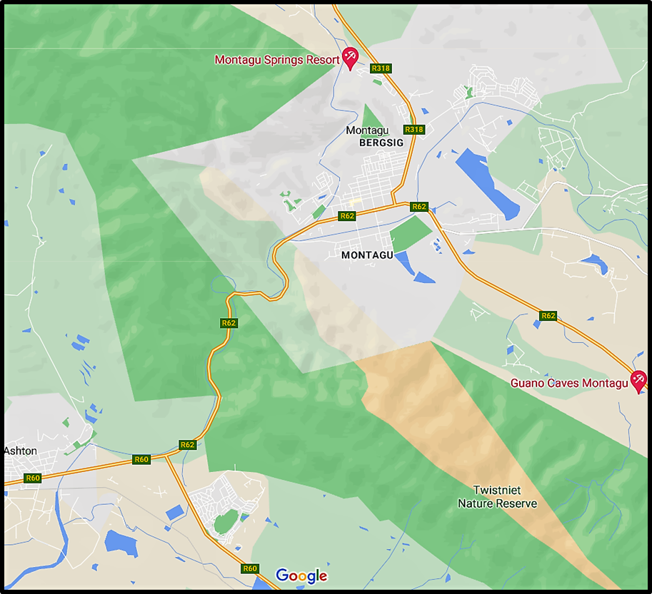
Key:
- Old Hodges Bridge
- Boy Retief Bridge
- The (Billy) Loftus/Tunnel Bridge
- Voortrekker Bridge
- Cogmans Tunnel
- Road to Swellendam
- Road to Ashton
Map: Google Maps
Introduction: The Hodges Bridge story came about as a result of the construction of the new road from Ashton to Montagu (2020). The Montagu Museum was requested to assist in compiling information for interpretive signage for placement at various rest stops along the new road. The reason for Hodges Bridge still remains a mystery. Why of all places along the Cogmans pass would the early decision makers have chosen to build a bridge at that point? It can only be assumed at this stage that there was a mountain spring/s which came down in flood from time to time cutting off Montagu from Ashton.
(Snippet From Dr. Stephen Craven: Thank you for yesterday’s e-mail. This morning (21/10/20) I walked to the Trigonometry Survey office where Ms. Denner and Mr. Meyer were pleasant, and helpful as far as they could go. Their problem is that Trig. Survey had not been invented in 1877. Their records – Job 687; FS 480 – date from 1951. You probably already know that Hodges 1877 Bridge is situated on Farm No. 158, Goree. They suggested that you enquire at the Surveyor General’s office in Cape Town, and the Deeds Office, also in Cape Town.)
MONTAGU.
ARTICLE FROM: THE STANDARD & MAIL, 20 JANUARY 1872, PP.3
OPENING OF THE FIRST SECTION OF THE NEW ROAD THROUGH COGMAN’S KLOOF.
(From our own Correspondent.)
12th January, 1872
On Wednesday, the 10th instant, the Montagu people were up and doing — not that we had not been working in the matter before, but we knew that on that day one portion of the new road through Cogman’s Kloof would be opened for public traffic. Although we were up early and were exceedingly busy, our business did not lie in opening our stores, for all the shops and stores were closed, as was fitting upon the occasion of such an important matter.
Mr. Hodges, our Civil Commissioner, had agreed to meet us at the commencement of the new road, and to drive through it and declare it open for public traffic at 12 o’clock, and he arrived somewhere about that hour. He was met about a mile on the Robertson side of this spot by some twenty or thirty Montagu men on horseback, who formed a guard of honour to conduct him to the tents which were erected on the Robertson side of the Kloof, and where under one tent a most substantial tiffin was laid out. From this spot the Civil Commissioner drove through the section of the Kloof, accompanied by nearly all the inhabitants of Montagu, who had almost turned out to a man, and many from Robertson. The bridge consists of two separate sections or “arches” as they were called. On the first arch or section of the bridge nearest to Ashton, the motto “Unity is Strength” was inscribed and on the second arch “Welcome to Montagu over Hodges’ Bridge”. Having driven through the Kloof the cavalcade returned, and on arriving at the culvert. Miss Hodges, at the request of the Montagu people, who had made all the arrangements in connection with these festivities, christened it Hodges’ Bridge, breaking the bottle, and, as is usual on such occasions, wasting the contents.
When the party arrived back at the end of the Kloof, Mr. Hodges declared the section open for public traffic, after which he was presented with the following address, which was read by Mr. Cairncross, the Issuer of Process at Montagu:-
To Frederick Hodges, Esq., Resident Magistrate and Chairman of the Divisional Council for the division of Robertson.
May it please your Worship, – We, the undersigned, ratepayers and others, residing on the Montagu side of Cogman’s Kloof Pass avail ourselves of the present opportunity at the opening of part of the new road through the pass to tender you our sincere thanks for the active part taken by you in your capacity as Chairman of the Divisional Council in procuring us this boon from Government.
We congratulate you that it has been reserved for you to consummate the most earnest wishes of the inhabitants, viz., the formation of a new road through the pass, which has been mooted for the last twenty years by all your predecessors, but to no purpose.
It being self-evident that the opening of this pass will be most beneficial to this district in particular, and the Western Province at large, for communication with the interior, we trust you will further interest yourself with Government to get the new road carried right through the pass, and in such a manner as to be available for steam communication, which we see in prospect not far distant—this being the only level pass in the Lange Berg range.
Trusting you may have the satisfaction of seeing this work brought to completion, we nevertheless, with an eye to the instability of all sublunary matters, beg to request you will allow us to name the first-completed bridge after you as a momento.
(Signed) Messrs. Joubert and Van der Merwe (members of the Divisional Council) and the Rev. Robert Martin.
Additional information prepared by staffers from the Montagu Museum in 2000
Cogman’s Kloof Pass which is situated between Ashton and Montagu on Route 62, is the gateway to the Little Karoo.
This historic pass which cuts through the fold mountains of the Langeberg range, was constructed by the brilliant road engineer Thomas Bain and completed in 1877.
The construction of the pass was initiated from the Ashton side of the Langeberg range. Hodges’ Bridge was the only bridge and formed an important part of the first section of the road that was completed and officially opened on Wednesday, 10 January 1872 by Frederick Hodges Esquire, the then Resident Magistrate and Civil Commissioner of Robertson and also Chairman of the Divisional Council (Robertson Division).
The bridge was named in his honour as he had played a major role in persuading the government to allocate funds for the construction of the pass. The bridge was christened by his sister, Miss Hodges and the traditional bottle was broken against the bridge.
As you enter the pass from Ashton you will see many sections of Bain’s road. Situated on the right of the new road, not far from the entrance to the kloof, is an arc of road including an old bridge. Hodges Bridge does not translate easily into Afrikaans and it became known affectionately by the locals as “Hortjies” bridge. The Hodges Bridge was however only in use for 5 years before the new road was built.
(Note: It is assumed that by using the word new road reference is made to Bains’ and his road which seems to have bypassed the bridge)
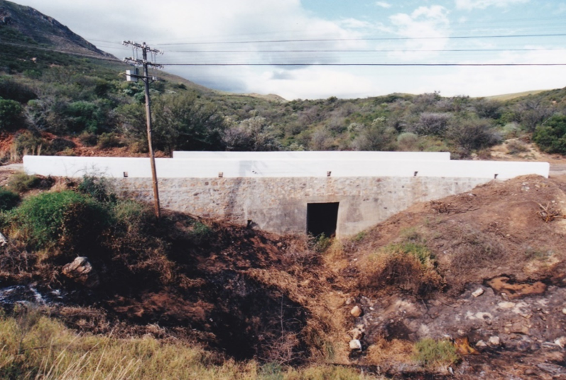
Note: On Monday 3 July 2000 the Ashton Municipality in conjunction with the Montagu Museum started and shortly thereafter completed the restoration of the Hodges bridge.
Before and after pictures of the Hodges bridge restoration project which was completed in 2000


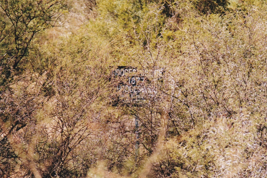
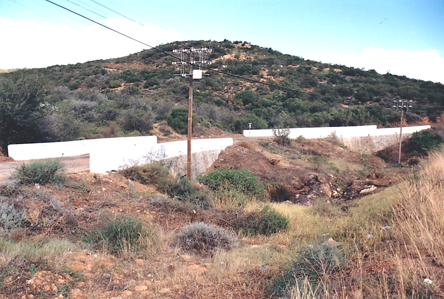
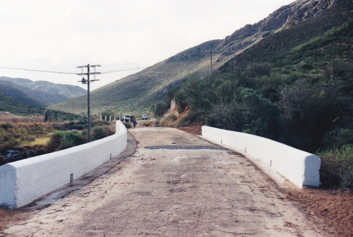
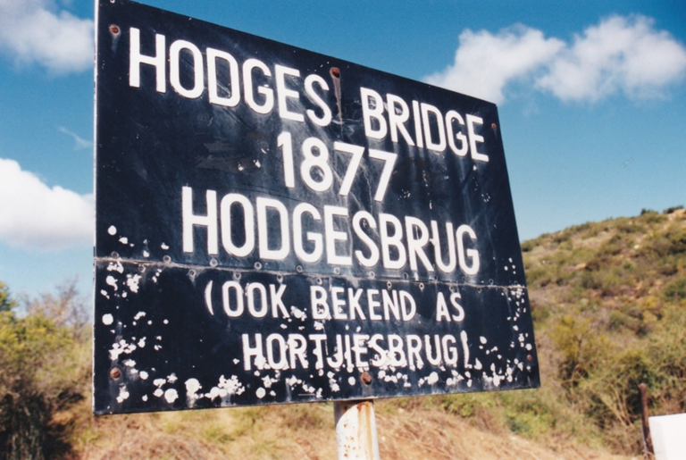
The signage above indicates the incorrect date. It should read 1872
Pictures: Montagu Museum

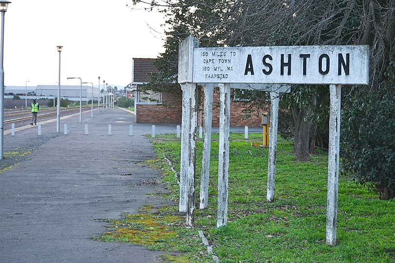
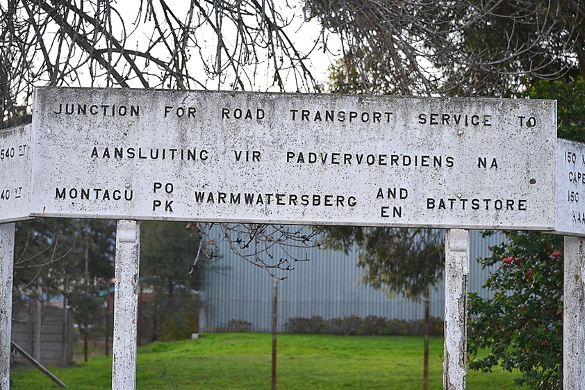
The Steam Train Water Supply
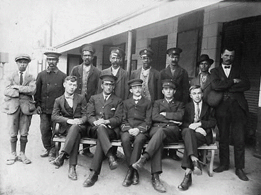
Ashton, 1921. Station staff. (Donated M.J. Booker)
Picture: Transnet Heritage Library Photo Collection
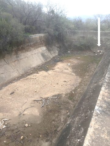
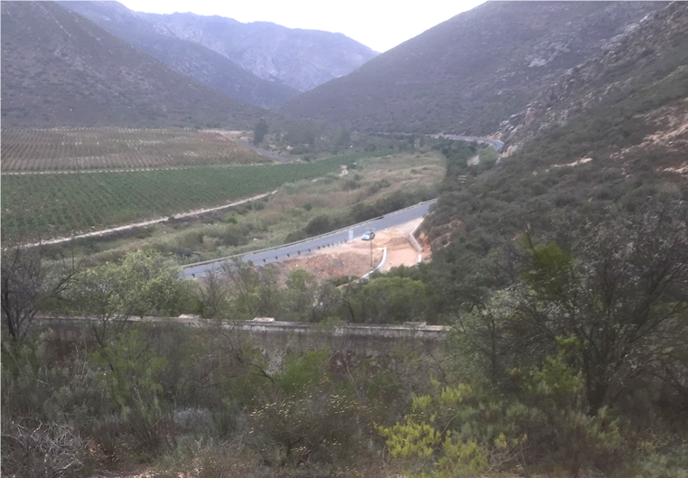
Montagu resident Jeanne Biesenbach provided an interesting snippet of information about another historic site in close proximity to Hortjiesbrug. If one takes a short hike up the koppie (hill) on the Ashton side of the bridge (see photo below) one comes across what looks like a large well-built swimming pool. This was in fact a water reservoir built by the local railways company of the day. According to another Montagu resident Burrie Steyn water was collected from a local mountain stream, stored in the reservoir and then piped to the Ashton station. It would also appear the whole system operated on the gravity principle. There are no inlet pipes built into the reservoir so the water must have entered the reservoir via some structure which was built on top or side of the reservoir. A sloot is still clearly visible leading down from the mountains which could have carried buried pipes but nothing is visible above ground. There are two visible pipes at the bottom of one end of the structure which one assumes must have carried the water to the station.
Note: Although there are no visible fences it is advisable to contact the local farmer before any attempt is made to visit the reservoir site.

The arrow shows the approximate locality of the old water reservoir

Arrow indicates outlet pipes
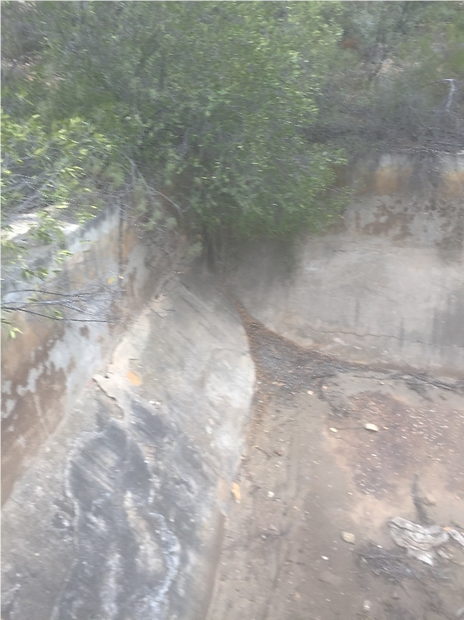
Other end of reservoir with solid wall
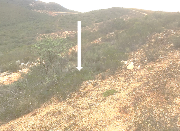
Sloot leading down towards the reservoir which must have brought the water
Contributions: Jeanne Biesenbach, Stephen Craven
Also see the article: Cogmanskloof The Pass with a History via the link below.
